
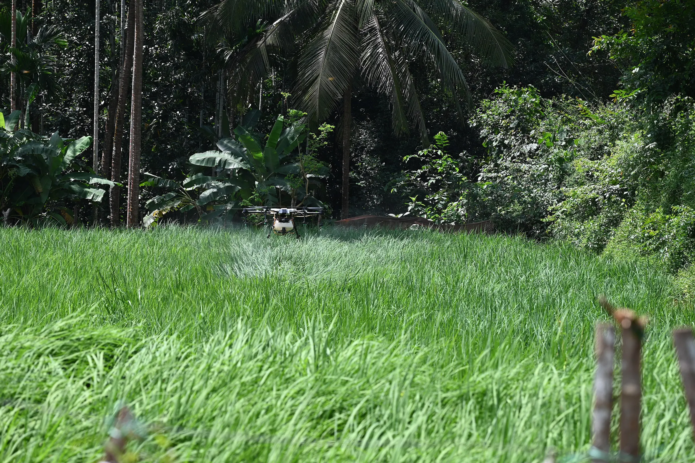
What is invisible from the farm road is obvious from 100 metres up.
What this solves
A view from above that turns a whole farm into a map you can act on.
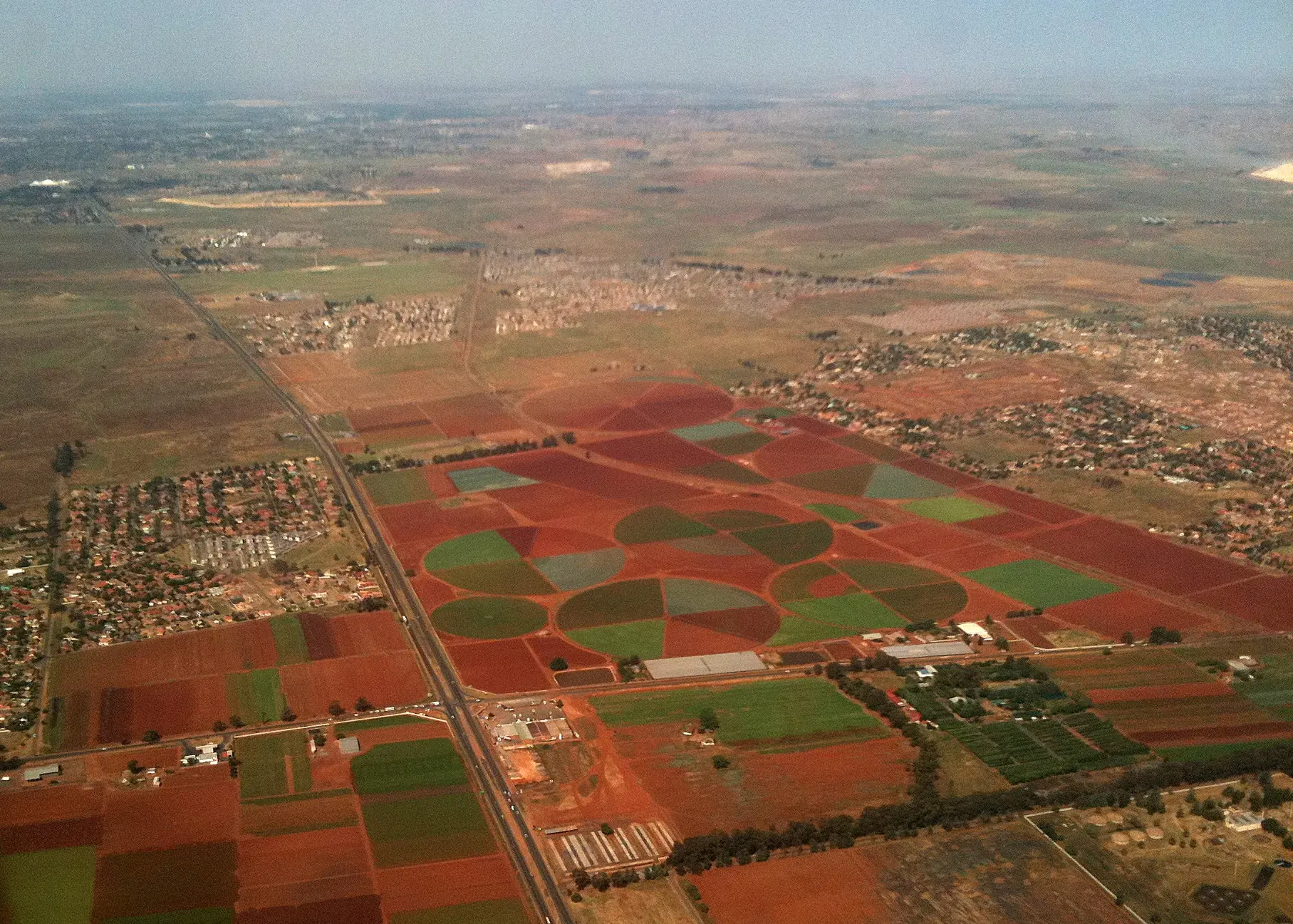
Walking a large field shows you the rows beside you. From the air, you see the pattern: the drainage problem, the failed planter pass, the pest pressure spreading from one corner.
We help farms use aerial imagery for crop observation, mapping and analysis, turning flights into maps and into practical next steps. Every flight programme is planned around the applicable aviation and privacy requirements for the country in which it takes place.
The challenge
Scale beats scouting
Scouting on foot only samples part of the crop, and problems can go unseen between stops.
Slow, costly surveys
Manually mapping fields and measuring areas ties up people for days.
Images without insight
Attractive aerial pictures do not help unless they are turned into a clear action.
Regulation
Rules for drone use vary between countries and must be respected on every flight.
What we deliver
Agricultural aerial monitoring
Scheduled flights through the season to track crop development.
Crop observation
Imagery that highlights stress, gaps and uneven growth.
Farm mapping
Accurate orthomosaic maps, field boundaries and area measurements.
Drone-assisted analysis
Vegetation indices and stand assessments turned into scouting priorities.
Business benefits
Whole-field visibility
See every part of a block, rather than a sample of it.
Targeted scouting
Agronomists are sent directly to the areas that need attention.
Accurate records
Dated maps document crop progress and areas planted.
Quicker response
Problems are seen while there is still time to deal with them.
Where it applies
Stand counts
Assessing germination soon after planting, in time to inform a decision on replanting.
Mid-season scouting
Vegetation maps that send field teams to stressed areas first.
Farm planning
Base maps for irrigation layout, drainage and land development.
Start a conversation
Drone-Based Agricultural Solutions
Zimbabwe, Harare
Office
Phone
Local time
Mozambique, Inhambane
Office
Phone
Local time
Related solutions
- Precision AgricultureTreat each part of the field according to what it needs, not according to the field average.
- AI-Enabled Agricultural SolutionsPrediction and automation that help experienced people make better decisions, earlier.
- Farm Monitoring and Data AnalyticsOne operational view of the farm, from today's alerts to season-on-season performance.